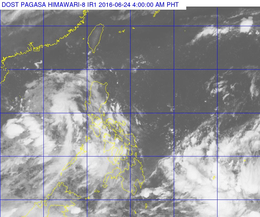
The state weather bureau is monitoring a low pressure area (LPA) inside the Philippine Area of Responsibility.
Based on the Philippine Atmospheric, Geophysical and Astronomical Services Administration’s latest advisory the said LPA is seen over the West Philippine Sea 530 kilometers from the western portion of Calapan City, Oriental Mindoro, said Leonard Samar, officer-in-charge of PAGASA Bohol.
While its westward direction is being tracked, it was noted to be moving away from the PAR.
However, Samar said that changes in the said LPA could still happen as it is also possible that it would just dissipate or will not become a tropical depression.
The LPA is also located within the intertropical convergence zone causing the frequent rains the past few days in Bohol and neighboring areas Cebu, Ilo-ilo, and Bacolod.
If the LPA intensifies into a tropical depression and moves toward the PAR, it will be the first storm to enter the Philippines this year and will be named Ambo.
Based on projections, Samar said that if there will be no changes in the LPA, this will become a storm in three or four days.
PAGASA had previously announced that frequent rains will start in the month of July as the wet season starts, La Nina phenomenon looms, and El Nino is expected to end its lingering presence over the country. (with reports from Allen Doydora)

Be First to Comment