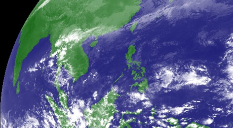
A low pressure area (LPA) has been spotted over the Pacific Ocean and projected to enter the Philippine area of responsibility (PAR) but has not shown signs of intensifying into a tropical cyclone, according to the state weather bureau.
The LPA was last tracked 930 kilometers east of Hinatuan in Surigao de Sur, said Leonard Samar officer-in-charge of the Philippine Atmospheric Geophysical and Astronomical Services Administration (PAGASA) Bohol.
The weather disturbance has no effect so far on regions in the country. However, it may slowly intensify in the next days.
PAGASA had already announced that three storms will be entering the PAR in the month of November while two are expected in December.
According to Samar, the northeast monsoon arrived also as the month of November started, affecting several regions in the country.
He said that Bohol had a recent low of 21.2 degrees Celsius while temperature is expected to slowly drop heading to December.
The coldest periods are between 2 a.m. and 6 a.m., Samar added. (Allen Doydora)
FOR MOBILE USERS: Scroll down for more of today’s latest news posted below the comment box.

