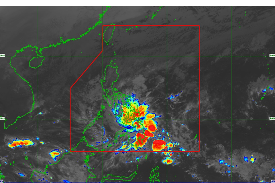
“Kabayan” intensified from a tropical depression into a tropical storm early on Monday as it continued to barrel towards the Visayas and Mindanao, according to the Philippine Atmospheric, Geophysical and Astronomical Services Administration (PAGASA).
Based on the latest advisory issued by the state weather bureau at 5 a.m., the cyclone was packing maximum sustained winds of 65 kph near the center and gustiness of up to 80 kph.
It was last spotted over the coastal waters of Caraga, Davao Oriental and was moving west northwestward at 15 kph.
Meanwhile, PAGASA hoisted an orange rainfall over Bohol, which remained under Storm Signal Number 1.
According to PAGASA’s rainfall warning, there is a possibility of flooding in low-lying areas in Bohol.
It also warned of possible landslides in mountainous areas.
Based on PAGASA’s forecast, “Kabayan” will likely to make landfall as a tropical storm along the coast of Davao Oriental or southern Surigao del Sur on Monday morning.
It will then cross the rugged terrain of Mindanao, and emerge over the Sulu Sea between later in the afternoon and evening.

